The Atlantic Wall
Sheriffmuir, Perthshire, just north of Dunblane
Select the thumbnails to view in full size
All images are © 400photos.uk
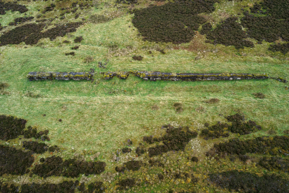
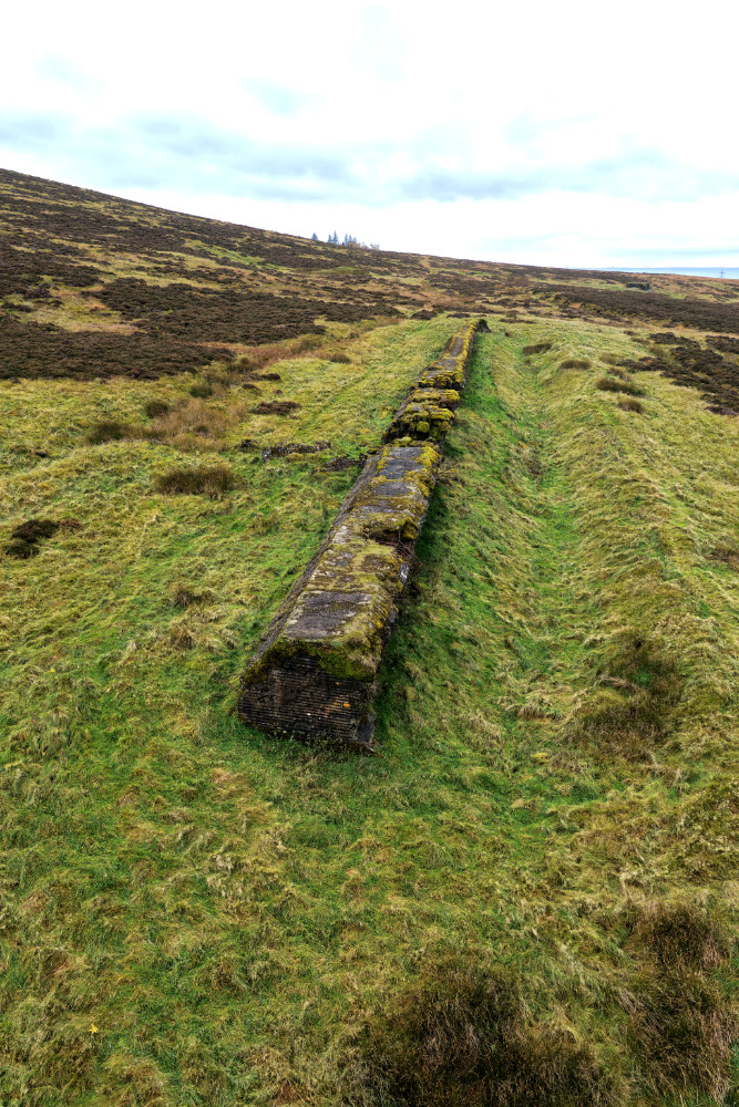
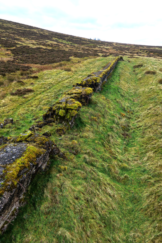
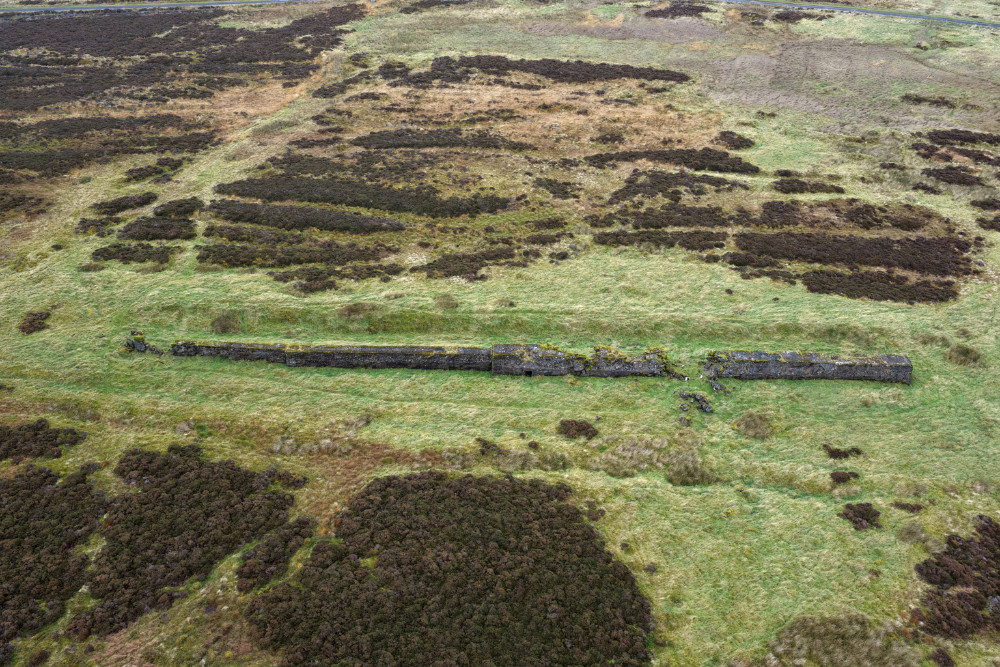
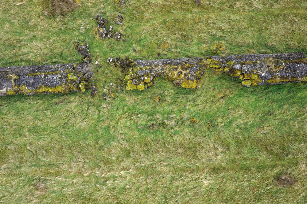
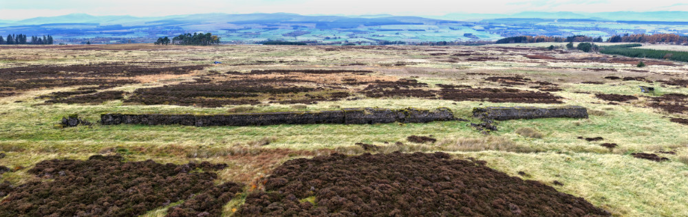
The Atlantic Wall on Sheriffmuir, Perthshire.
As well as being near the site of the 1715 Battle of Sheriffmuir this wall is a part of the more recent history of World War Two.
In 1943 the Germans were occupying most of western Europe and their plan was to built an Atlantic Wall as defence against the Allies expected invasion to retake the occupied lands. D-Day, as it became known.
In a flawed attempt to defend the coast the Germans started to build the wall, using mostly slave labour, to protect the coasts of France, Belgium, Holland, Denmark and Norway. The Allies had to work out a way to breach the wall and advance inland.
This Atlantic Wall is a replica used to train the Allied troops and was built by soldiers and sappers garrisoned in Dunblane and Stirling in early 1943. The construction was based on photos and information supplied by the resistance fighters in France and Belgium. The plan was to use it to practice the invasion and work out the right equipment and methods to breach the German defences.
It's only a short section and is in three different sizes from about ten feet wide and ten feet high on the north end down to about ten feet wide and eight feet high at the south. As you can see it also had a defensive ditch along the front of it, very much like the Romans used in this same area nearly two thousand years earlier. Nothing much changes.
The breaches in the wall were made by Allied (mostly UK) forces testing their weapons. As you may know the invasion was successful, certainly in military terms, so the practice wall did its job.
It's on a minor road north-east of the Sheriffmuir battlefield, there's limited parking and access to the wall on foot over a rough path about two hundred yards east of the road.
In passing there are other Atlantic Walls in the south of England and west Wales which served the same training purpose. This is the only one currently known in Scotland.
These photos were taken on a dreich, misty day in October, 2026 which seemed in character with the location.