The River Ayr Way Marker
By the harbour at the side of the River Ayr
as it meets the sea.
as it meets the sea.
Select the thumbnails to view in full size
All images are © 400photos.uk
All images are © 400photos.uk
The River Ayr Way is a long distance walk that runs the entire length of
the river from Glenbuck about 44 miles away.
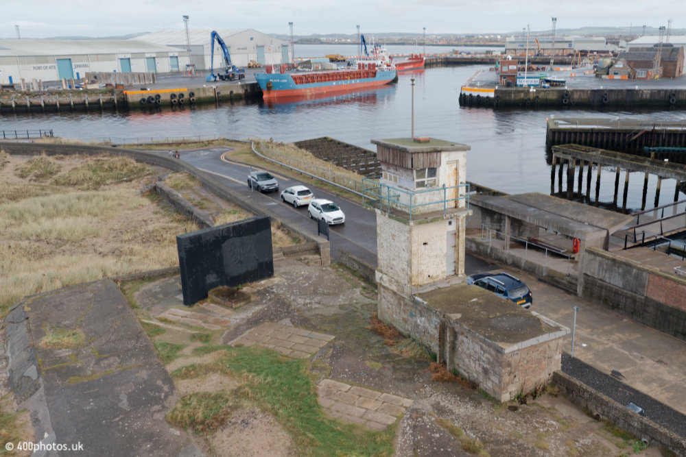
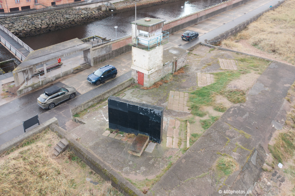
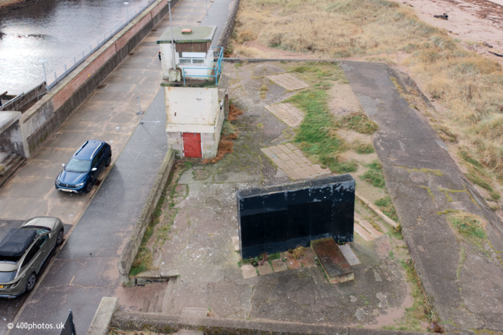
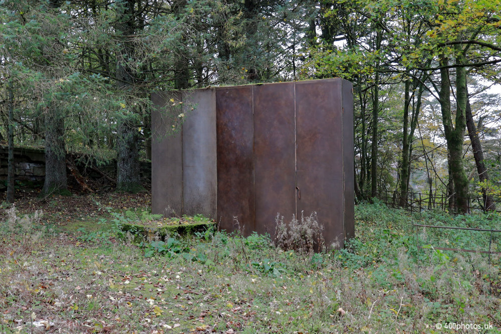
This black box represents the coal that was mined at the other end of the River Ayr Way up at Glenbuck in the far east of Ayrshire. The corresponding marker (pictured below) is the same thing but it was coated in sand to represent this end of the long distance walk.
The two markers are seemingly lined up with each other edge-on to signify their connection and both are in a poor condition. The walk opened in 2006.
A few yards away is St John's Tower.