Dysart Harbour, St Serf's Tower & Stuart Birthplace
All in a small coastal village just east of Kirkcaldy



Select the thumbnails to view in full size
All images are © 400photos.uk
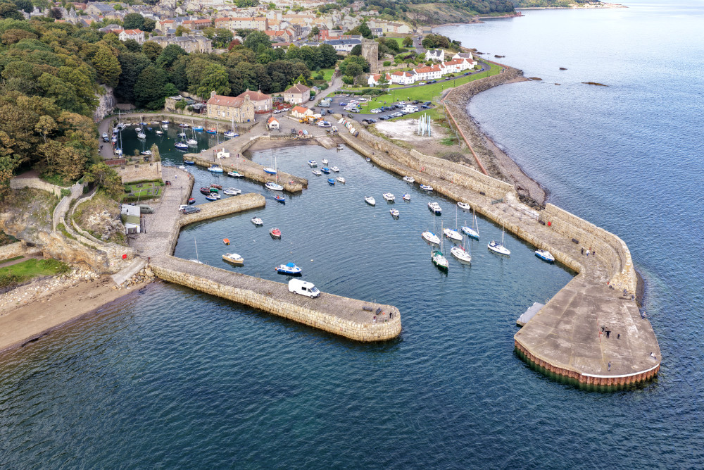
Once a busy fishing port now used almost exclusively for pleasure craft.
The Harbourmaster's House offers local information, tourist shopping and a café.
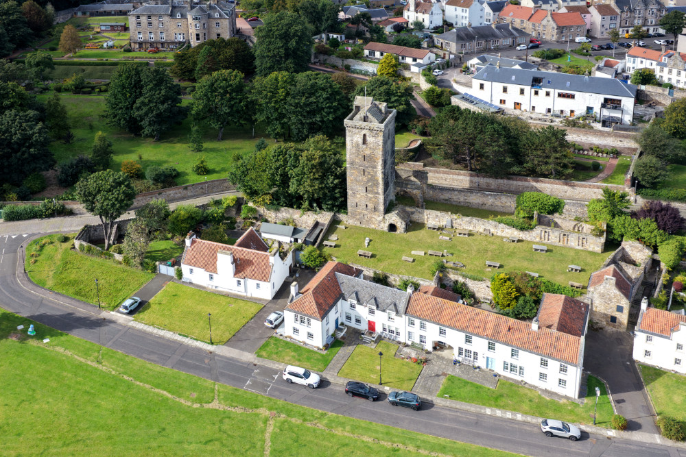
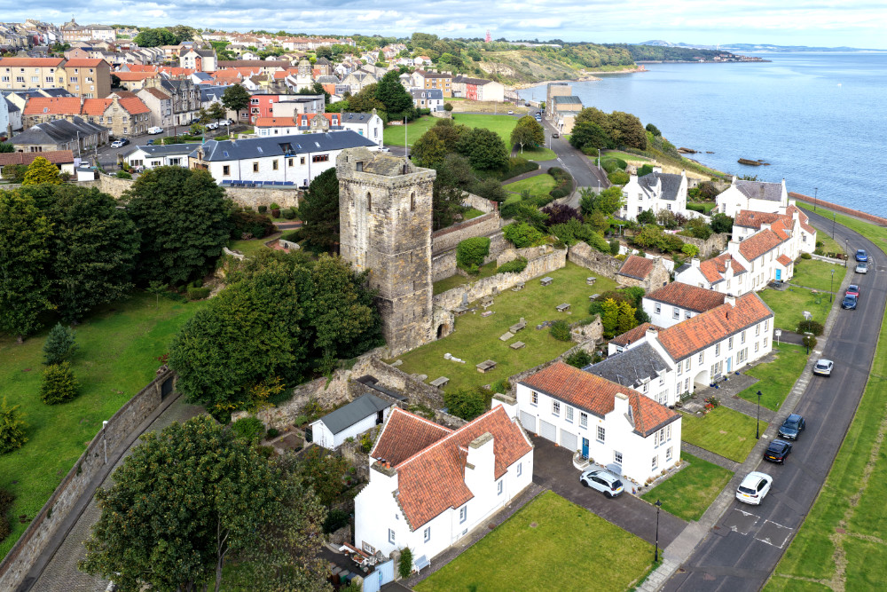
St Serf's Tower is all that remains of a major church dating back to at least the 1220s (13th century). The tower was added in the early 15th century and has gun loops used to protect the village and nearby harbour as well as the local St Clair family but the church fell out of use by about 1800 or so. 72 feet high, 7 floors, it was used during both world wards as an observation post overlooking the River Forth.
The street of restored white houses with red roofs along the shore in front of the tower is called Pan Ha', named for the salt works so prevalent along this coast. Two of the buildings closest to the harbour were pubs built in 1582 and 1585. Thirsty work, fishing.
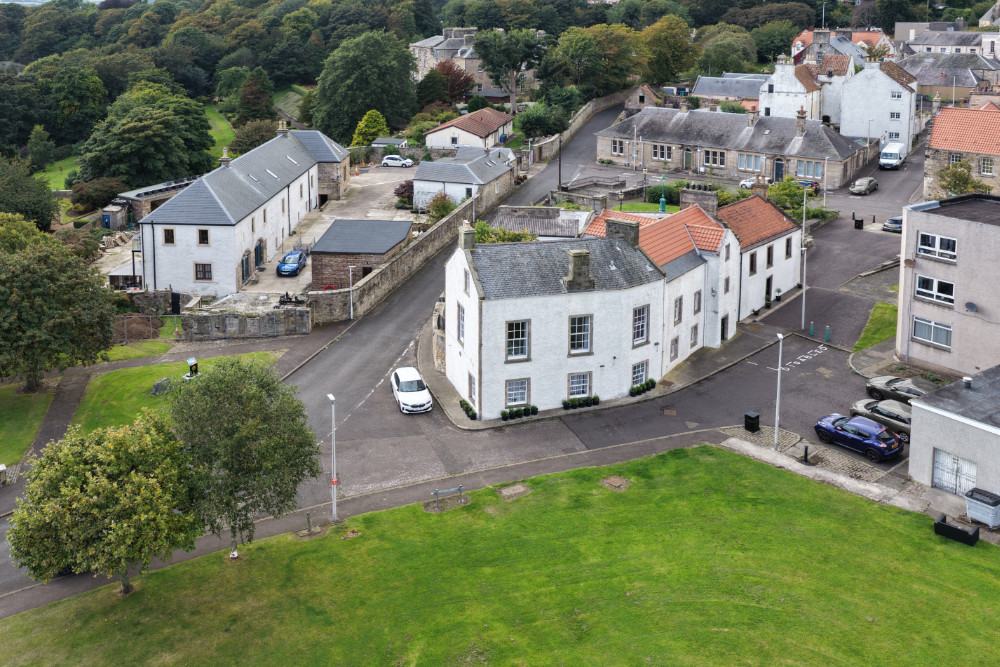
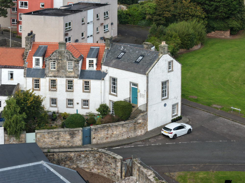
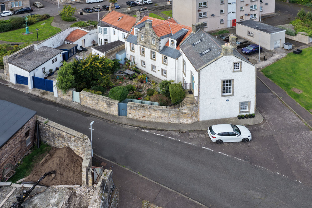
In the last row of photos the white house (with the round blue plaque on the gable end) is the birthplace of John MacDouall Stuart the man who mapped the route from Adelaide to Darwin north through the Australian interior back in 1862 or so. You've probably heard of The Stuart Highway that runs up through Alice Springs and relatively close to Uluru. That's the chap.
There's an information board across the road that tells some, but not all, of his story.
The Harbourmaster's House offers local information, tourist shopping and a café.
St Serf's Tower is all that remains of a major church dating back to at least the 1220s (13th century). The tower was added in the early 15th century and has gun loops used to protect the village and nearby harbour as well as the local St Clair family but the church fell out of use by about 1800 or so. 72 feet high, 7 floors, it was used during both world wards as an observation post overlooking the River Forth.
The street of restored white houses with red roofs along the shore in front of the tower is called Pan Ha', named for the salt works so prevalent along this coast. Two of the buildings closest to the harbour were pubs built in 1582 and 1585. Thirsty work, fishing.
In the last row of photos the white house (with the round blue plaque on the gable end) is the birthplace of John MacDouall Stuart the man who mapped the route from Adelaide to Darwin north through the Australian interior back in 1862 or so. You've probably heard of The Stuart Highway that runs up through Alice Springs and relatively close to Uluru. That's the chap.
There's an information board across the road that tells some, but not all, of his story.