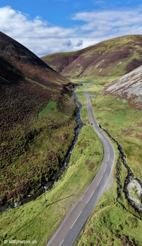
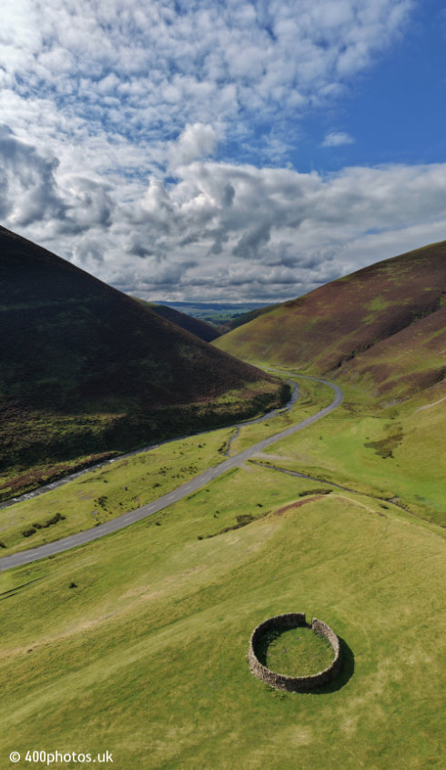
The Mennock Pass
Dumfries & Galloway
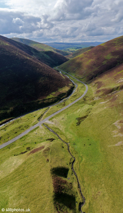

The spectacular Mennock Pass through the Lowther Hills and leading up to Wanlockhead,
the highest village in Scotland.
The road through the pass is the B797 and runs eastwards from the A76 north/south Kilmarnock to Dumfries road, just south of Sanquhar. Also by turning left (south-west) off the M74 northbound at Abington.
The road through the pass is the B797 and runs eastwards from the A76 north/south Kilmarnock to Dumfries road, just south of Sanquhar. Also by turning left (south-west) off the M74 northbound at Abington.
Looking north towards Wanlockhead you can see the road start to rise.
These photos have been cleaned up to remove the garbage, plastic bags, used nappies and other detritus left by ignorant tourists and self-designated wild campers.
Parking and overnight stays are free, sadly, and are much abused.
These photos have been cleaned up to remove the garbage, plastic bags, used nappies and other detritus left by ignorant tourists and self-designated wild campers.
Parking and overnight stays are free, sadly, and are much abused.
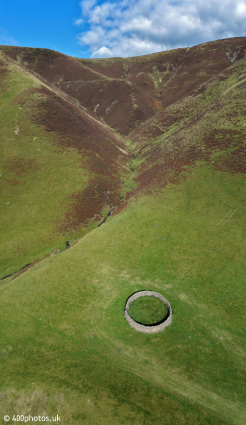
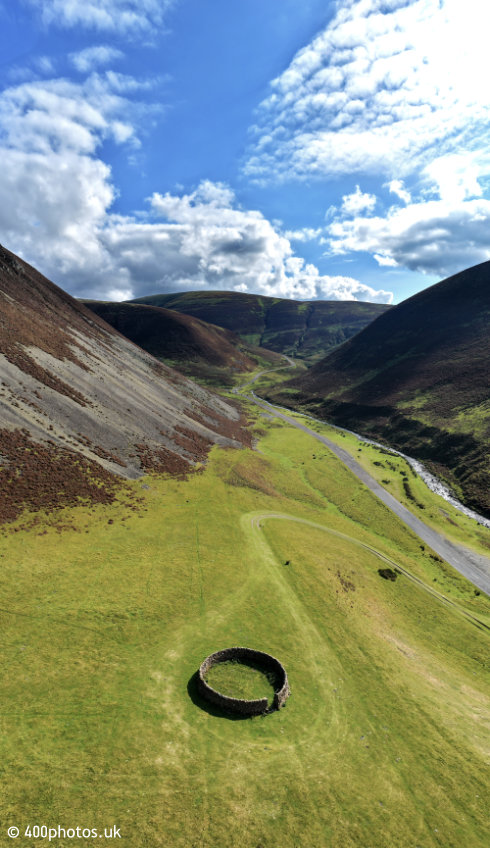
It's an old line but the Mennock Pass looks like a good place to get ambushed
by the Redcoats.
The stream down the pass is the Mennock Water which has been the source of some very
successful gold panning.
That's not a misprint, the World Gold Panning Championships have been held in this area, up at Wanlockhead.
That's not a misprint, the World Gold Panning Championships have been held in this area, up at Wanlockhead.