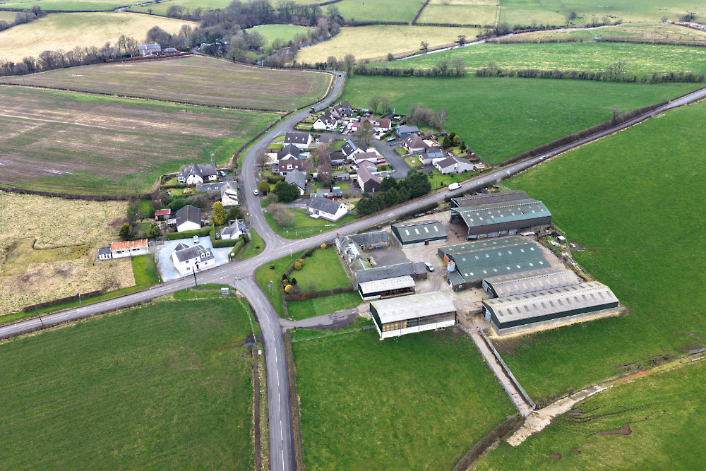
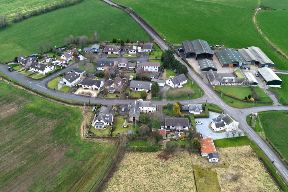
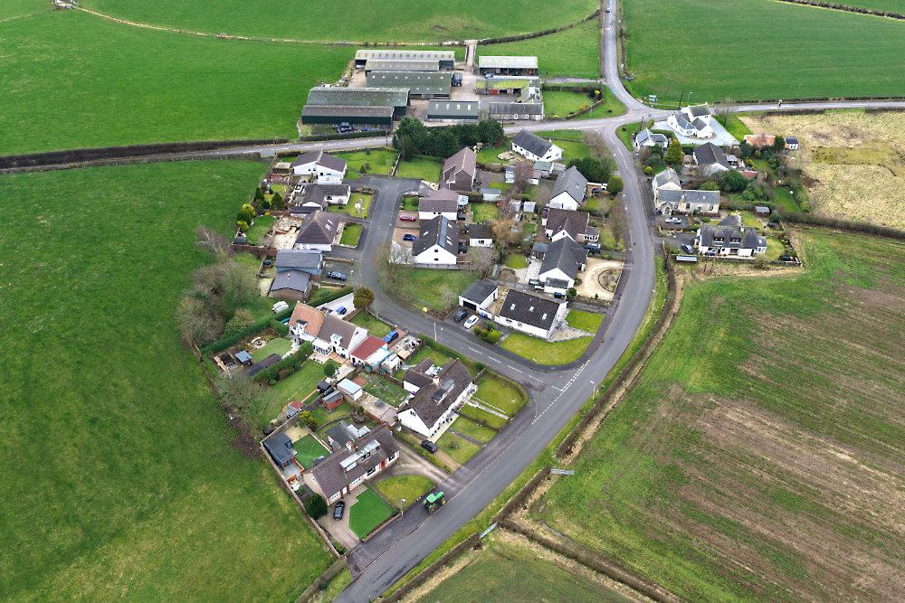
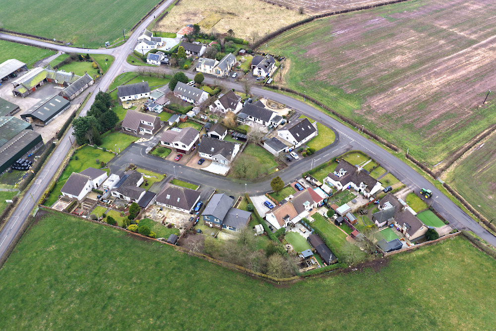
Tap or click here for the home page

Click Tap here to view the full A - Z menu

Cunninghamhead

Cunninghamhead, North Ayrshire, aerial photograph
On the B769 between Irvine and Stewarton.

This cluster of houses was once called simply Cross Roads and consisted almost entirely of a blacksmith's, a school (now converted to a house) and a couple of cottages.


Cunninghamhead, North Ayrshire, aerial photograph
The road through is Altonhead Terrace and the cul-de-sac is Altonhead Drive.

These were taken in late February and it will all look a lot nicer when the trees are green and the light's brighter.


Cunninghamhead, North Ayrshire, aerial photograph
From the north.


Cunninghamhead, North Ayrshire, aerial photograph
And from the north-east.


Home Page
Copyright
Licences
 
Contact & Information
 
email
 
The entire content of this website is Copyright © 400photos.uk and all Moral Rights are asserted.

A licence is required before re-publishing any of the photos or text from this website.