Tap or click here for the home page
 A 
 B 
 C 
 D 
 E 
 F 
 G 
 
 H 
 I 
 K 
 L 
 M 
 N 
 O 
 P 
Q
 R 
 S 
 T 
 W 
 
Cairnpapple by Torpichen
Cambuskenneth Abbey
Carnasserie Castle
Castle Stalker Appin
Castle Semple Church
Cellardyke Harbour
Cellardyke Outdoor Pool
Chatelherault Hamilton
Crail Harbour
Crail Doocot
Crail Roome Bay
Crinan Canal
Crossraguel Abbey
Croy Electric Brae
Culzean Castle
Cuningar Loop
Cunninghamhead
Cunninghamhead Estate

Cunninghamhead Estate
North Ayrshire

Cunninghamhead Estate, North Ayrshire, aerial photograph
From the south. This is a residential park for over 50s just north of the B769 between Irvine and Stewarton.

These were taken in late February and it will all look a lot nicer when the trees are green and the light's brighter.


Cunninghamhead Estate, North Ayrshire, aerial photograph
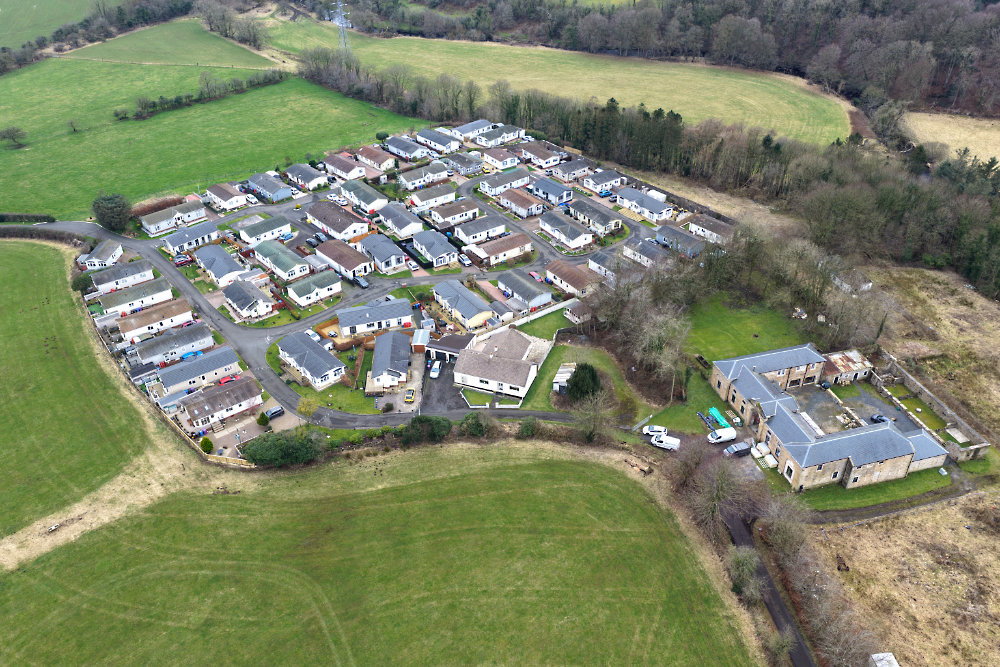
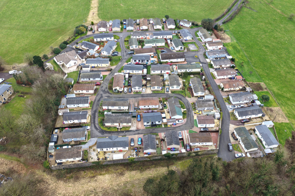
This was originally the site of Cunninghamhead House, the only remaining part of which is what is presumed to be the stable block to the right of this photo which was taken from the south-east.


Cunninghamhead Estate, North Ayrshire, aerial photograph
This from the north. In this and other photos the original garden wall round the old house is plainly visible.

The access road in the middle distance crosses an old railway line half-way to the main road.


Cunninghamhead Estate, North Ayrshire, aerial photograph
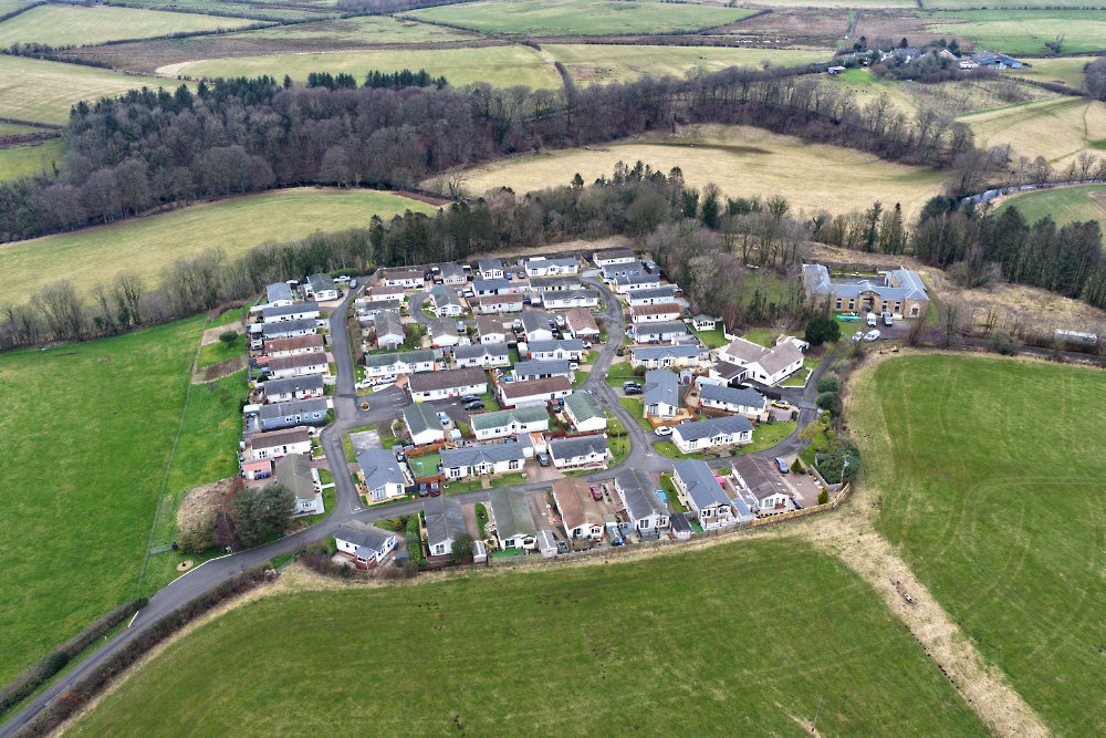
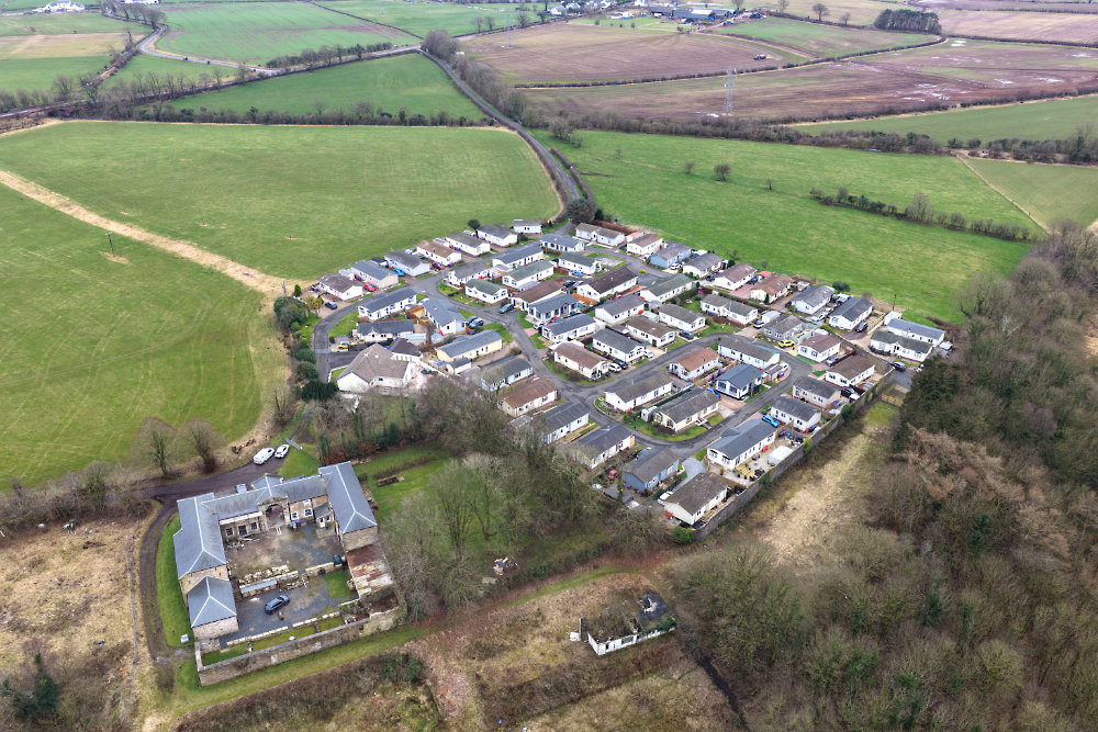
From the north the wall is plainly seen. The original house was at the far end of the park from here, generally speaking the second and third horizontal rows from the top.


Cunninghamhead Estate, North Ayrshire, aerial photograph
Looking down from the south to show the main (only) access road.

The house with the greenish roof (with two dark cars to the left from this angle) was about the centre of the original house.

While most of these houses are within the old garden wall the row along the left of this photo are built outside the original garden limits.


Cunninghamhead Estate, North Ayrshire, aerial photograph
From over the far side of the B769, looking almost due north with the estate entrance at the bottom left.

The line of trees diagonally across the photo is an old railway line and there was a passenger and freight station just to the right of this photo until the mid 1960s. That line ran from Dalry to Kilmarnock.


Home Page
Copyright
Licences
 
Contact & Information
 
email
 
 A 
 B 
 C 
 D 
 E 
 F 
 G 
 
 H 
 I 
 K 
 L 
 M 
 N 
 O 
 P 
Q
 R 
 S 
 T 
 W 
The entire content of this website is Copyright © 400photos.uk and all Moral Rights are asserted.
A licence is required before re-publishing any of the photos or text from this website.